"So I've started out
for God knows where
I guess I'll know
when I get there"
-Tom Petty
'Twas a fine winter's morn in the Town of Alice. As I wound my way across the Remutaka's, it turned out that the morning was also fine in the Wairarapa. It was also winter there, too.
What's more, the peaks of the Tararuas were entirely free from cloud.
And so it was that we set of from the Holdsworth carpark at 12:30 in some remarkably fine weather. Following the Holdsworth Highway, we hoofed it along the flat, slowing down a little when the track starts climbing toward rocky lookout. Plenty of other people and dogs out for a walk in the woods too.
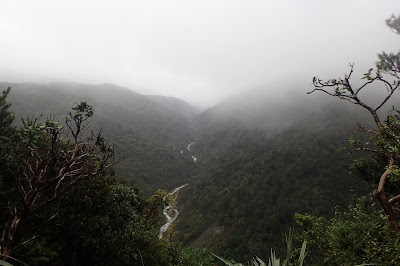
The track is wide and well graded, although the gravel is a little washed out in places. The gradient is, by Tararua standards, gentle, but that didn't stop us finding it embarassingly difficult. After about 70 minutes we arrived at the rocky lookout, and soaked up the view for a few minutes before resuming our something-between-plod-and-stride toward the Holdsworth-Totara Flats junction.
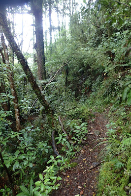
5km and 2hr 10 min after starting, we reached the junction, and had a nice rest on the seats there. Eventually mustering the emotional fortitude to heft our packs back onto our shoulders, we split off from the Holdsworth Highway in the direction of Totara Flats Hut. Straight away the track reverts to the mud and roots of a typical Tararua track. The next ~1.5 km of track is a mess of rutted clay, loose rocks, slippery roots and mud, and quite slow going - taking us about an hour.
The track then turns sharply to the south - the point where are newer track (cut a few years back) diverges from the old Totara Creek track.
This part of the track is pretty good, and very flat for a decent portion of it. The only inconveniences were the odd fallen tree across the track.
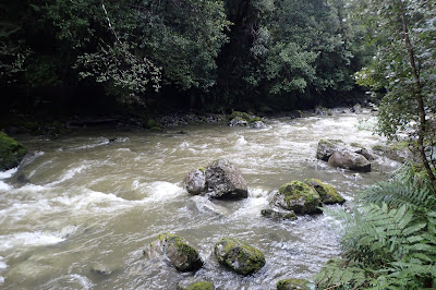
About 8km and 4 hours from the start, the track begins to head down a spur toward Totara Creek. After descending most of the way down the spur, the track a stream (bridged), and sidles at a gentler gradient along the side of the hill, gradually descending further until reaching the swing bridge across Totara Creek. By the time we reached the bridge it was about 5:30 pm, and about as dark as it was going to get. We'd been using headlamps for almost half an hour and relied entirely on them for the last k or so to the hut. Just before the hut, a notorious swing bridge crosses the Waiohine River - an interesting experience in the dark, but at least it wasn't windy. We reached the hut right on 6pm, 5hr 34 min and 11.1 km from the carpark.
(Side note: at the time, the GPS track log had recorded 13km, but having imported it to my computer, am now told by MemoryMap it was 11.1km).
Totara Flats is a spacious, tidy hut, which we shared with two other people. I awoke the next morning to frost on the grass and a misty rain hanging in the air.
After breakfast and a clean-up, we headed out just after 9 am.
 |
| View from the swing bridge |
As is to be expected, the track was much nicer in the daylight. Soon enough, we'd arrived at the Totara Creek swing bridge.
The climb soon had tired knees protesting, but we trudged onward, passing through some pretty nice forest.
About 1hr 45 min/2.7km, the track mercifully leveled out. Once again, the travel across the ridge was flat and relatively easy going - not to mention, very scenic.
After 4.4km/2.5hr we had reached the point where the track turns to shit and heads back up the the Holdsworth Highway.
It was about 1:15pm when we reached the junction. After another of many breaks, we hoofed down the track back toward rocky lookout, getting there 30 mins later. Had it not been for our various aches and pains, this would've been a very easy final stretch. As it was, we still managed to make decent time.
After a more-or-less uneventful amble down the hill, we were back at the carpark by 20 to 3, 5hr and 20 minutes after leaving the hut.
 |
| 12.6km somehow becomes 11km once the data has been imported into MemoryMap |
 |
| GPS recorded track from inbound trip in red. |
Vaguely Dangerous Wilderness:


